-40%
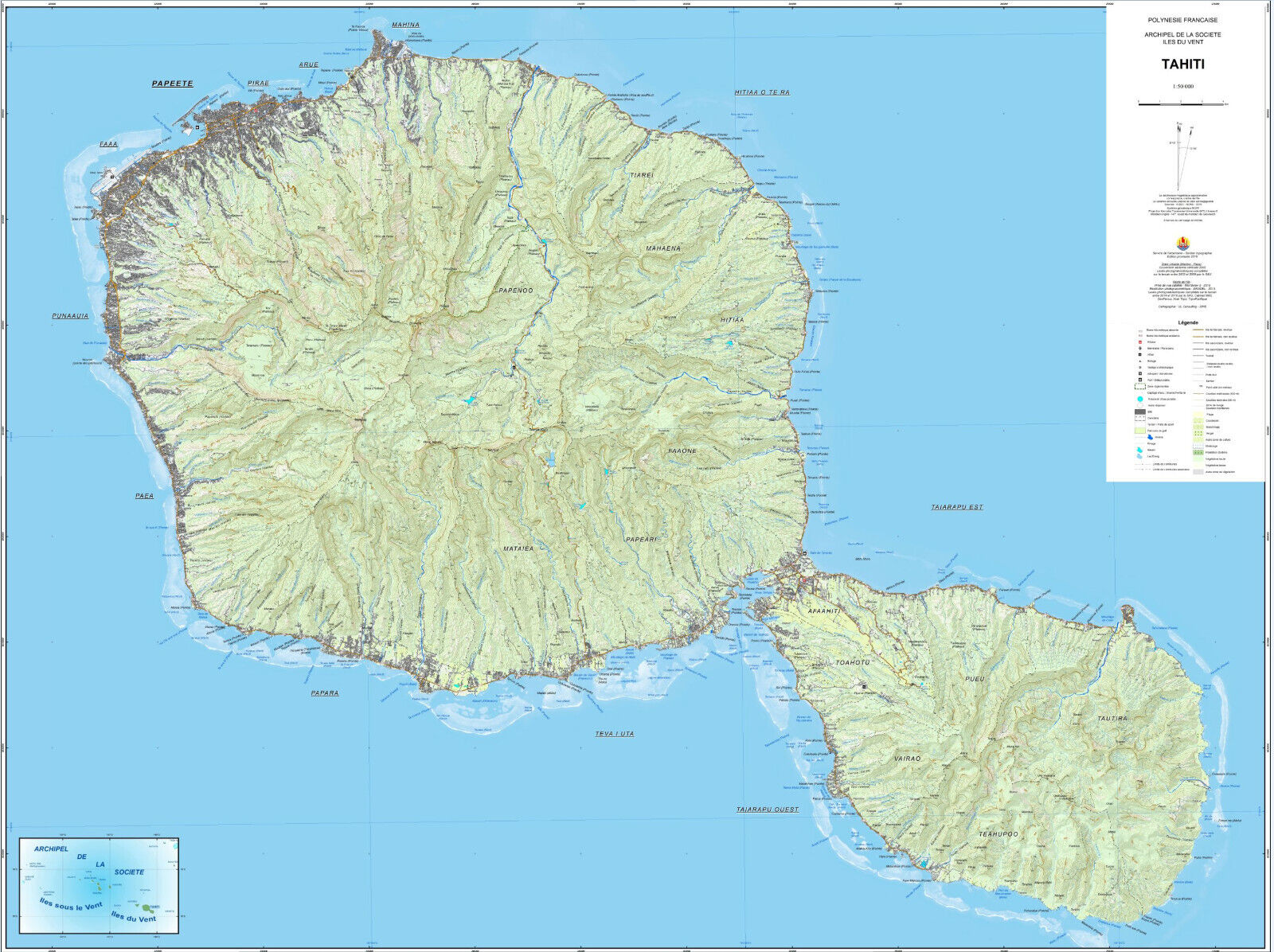
Tahiti Official Topographic Map - French Polynesia - Polynesie 1:50,000
$ 36.93
- Description
- Size Guide
Description
Official Topographic Map of Tahiti - French Polynesia - Polynésie françaiseOriginal Topographic Map prepared by the Service de l'urbanisme - Section topografie
Map covers the entire island of Tahiti at the scale of 1:50,000
Unique, highly detailed topographic map published by the
Government of French Polynesia in 2016
.
Full-color
digital print.
Very large sheet size - 47 * 35 in.
Map will be shipped folded.
