-40%
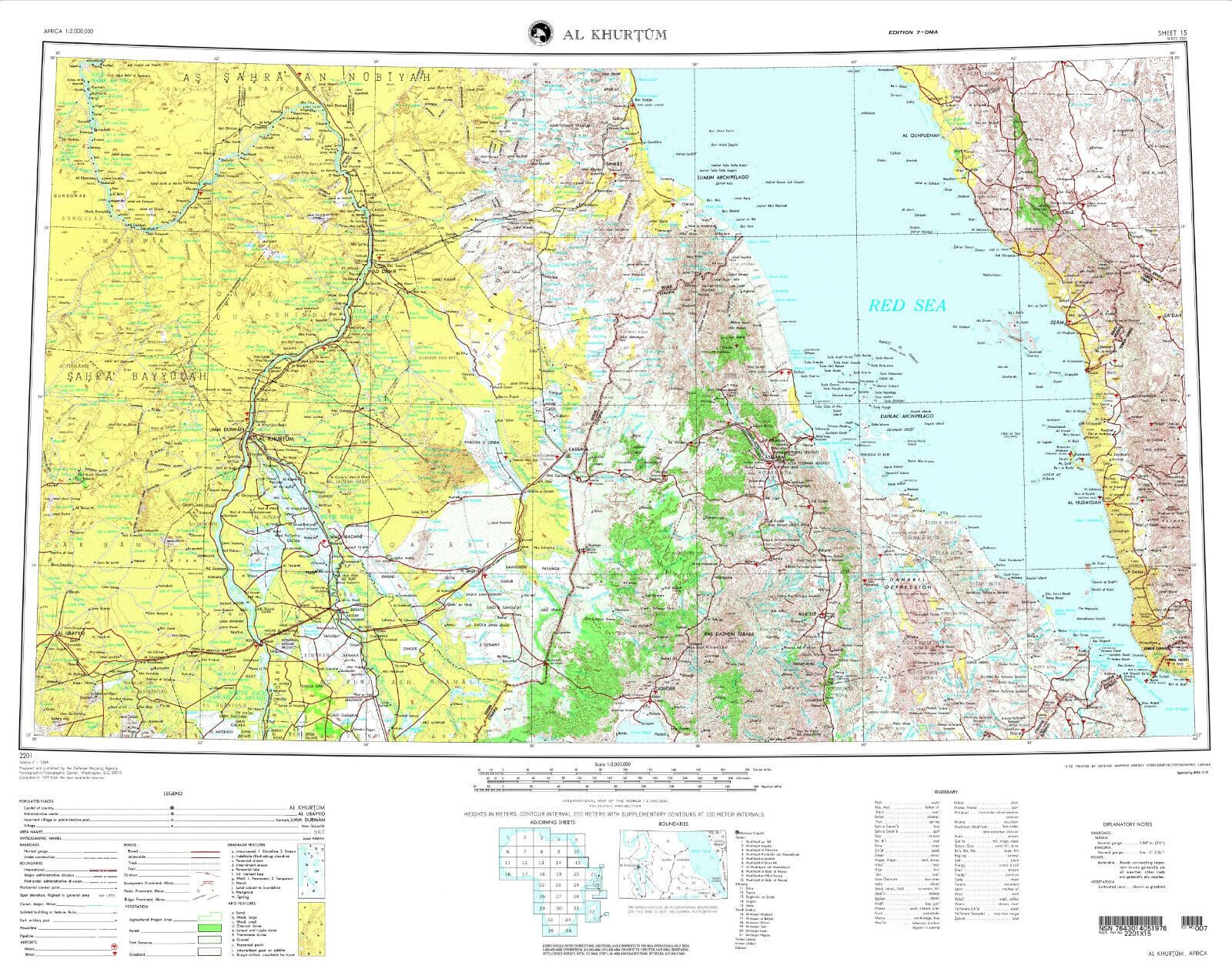
NGA Military Map of Sudan, Eritrea, and Ethiopia
$ 15.81
- Description
- Size Guide
Description
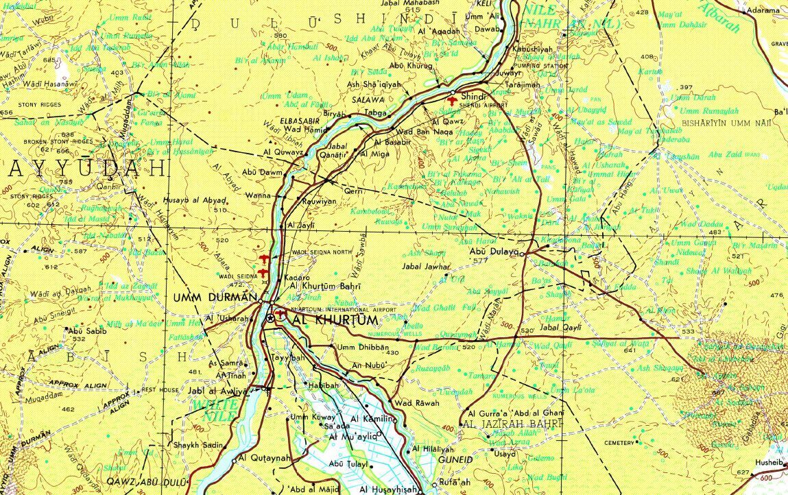
American Military Topographic Map of Africa at the scale of 1: 2,000,000.Sheet # 15 covering parts of Sudan, Eritrea, Ethiopia, Saudi Arabia and Yemen
Map prepared by the US Defense Mapping Agency and published by the National Geospatial-Intelligence Agency.
Series 2201. Sheet no. 15 - Al Khurtum (Khartoum).
Edition no. 7.
Unique, highly detailed topographic map, surveyed in 1979 and published in 2001. Full-color digital print.
Sheet size 32 * 25 in.
Map will be shipped folded.
